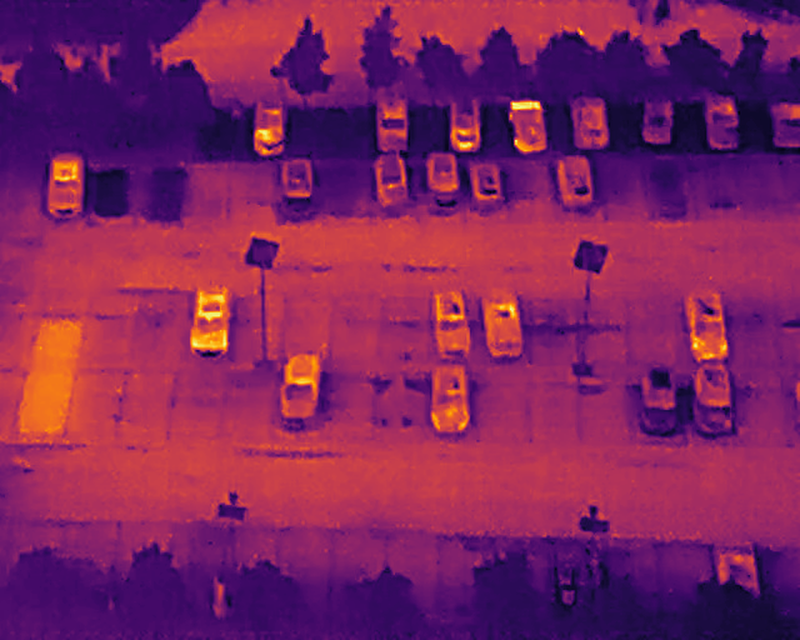
Skip to content
Use cases

When losing the link is not an option.

Civil and defence missions where intelligence must be generated on-board, not awaited from a control centre.

Civil operations

Emergency, surveillance, rescue.

Programmes with UME, Civil Protection, regional authorities and critical-infrastructure operators.

Civil · 01

Night-time search and rescue

Coordination with UME, Civil Protection and fire units in search operations across mountain, coast or affected urban areas. Thermal detects human signatures through foliage, fog or total darkness — without artificial lighting.

  • WGS84 coordinates for each detection with UTC timestamp
  • Per-detection confidence, aggregable by swept zone
  • Low-bandwidth alerts transmissible over HF/VHF radio
Thermal ISR frame, model detections active
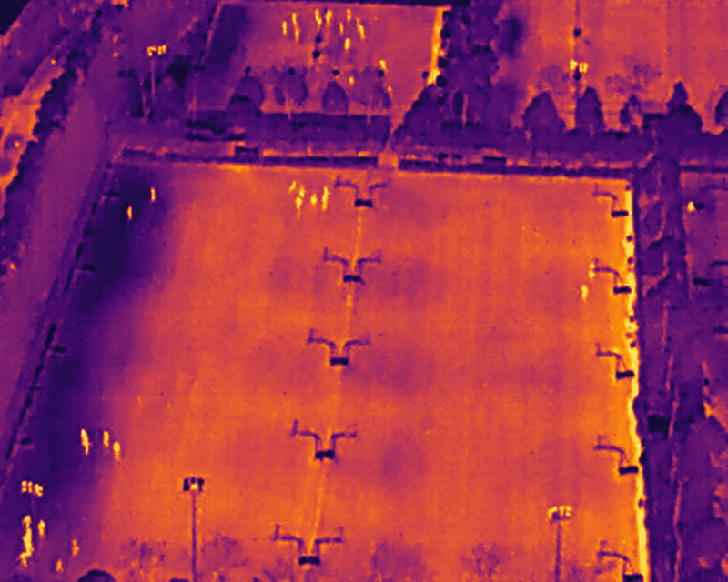
Thermal · LWIR · Frame 0156--:--:-- UTC
LinkNominal

Illustrative · HIT-UAV dataset (CC BY 4.0) · MG Sentinel RF-DETR model

Civil · 02

Wildfire watch and perimeter

Tracking of primary and secondary hotspots, fire-front advance monitoring and hot-point detection in scenarios where the satellite link is unstable due to smoke, terrain or saturation.

  • Thermal detection of geo-tagged hotspots and hot points
  • Local persistence through link outage; opportunistic sync on return
  • Compact events transmissible under restricted bandwidth
Civil · 03

Critical-infrastructure surveillance

Substations, water networks, telecom, refineries. Sectors under frameworks such as NIS2 that mandate continuous watch, including in areas poorly covered by mobile or satellite networks.

  • Automatic detection of persons and vehicles in perimeters
  • Geo-tagged alerts with confidence score
  • Continuous operation even when mobile or satellite fails
Defence operations

Reconnaissance, deployment, sovereignty.

Programmes with armed forces, specialised units and allied NATO operators. The EU/NATO supply chain avoids ITAR/EAR restrictions.

Defence · 01

ISR reconnaissance for ground forces

Patrolling of operational areas and pre-deployment intelligence. Edge-generated tactical intelligence in environments where the link can be degraded by electronic warfare or active jamming.

  • Classification of generic types (person, vehicle, object)
  • Geolocation and counts aggregated by swept zone
  • Transmission via tactical low-bandwidth link or store & forward
Thermal ISR frame, model detections active
Thermal · LWIR · Frame 0289--:--:-- UTC
LinkNominal

Illustrative · HIT-UAV dataset (CC BY 4.0) · MG Sentinel RF-DETR model

Defence · 02

Standoff reconnaissance for EOD/TEDAX

Aerial reconnaissance of areas with suspected relevant activity ahead of EOD unit deployment. Allows the unit to arrive with prior operational picture without preliminary personnel exposure. Operation in urban scenarios where the link can degrade due to physical obstacles.

  • Systematic thermal and RGB coverage
  • Geolocation of detected zones and objects of interest
  • Local capture of evidence for post-mission analysis
Defence · 03

Allied NATO operators

Extensible to armed forces of NATO Member States under bilateral or multinational programmes. PX4/ArduPilot agnosticism allows integration over heterogeneous platforms; the EU/NATO supply chain avoids ITAR/EAR restrictions in the software stack.

  • Same intelligence layer, different host platforms
  • Compatible with allied doctrines and CONOPS
  • No US regulatory dependencies in the software stack
Dual-use by design

The same ISR brain for different scenarios.

Switching between a night-time SAR operation and a military reconnaissance mission does not require a different system: it requires a different configuration of the same layer. The sovereignty rule remains.

Next step

Operate where the link cannot be guaranteed?

Let's talk. Institutional programmes, industrial integrators and allied partners.